Winter Storm Watch Coming For Mid-Michigan
Well here's a surprise...we may be in for more bad weather this weekend.
According to the National Weather Service in Grand Rapids, we will be under a Winter Storm Watch for most of Sunday.
Here's what's up according to the National Weather Service:
...WINTER STORM WATCH IN EFFECT FROM SUNDAY MORNING THROUGH LATE
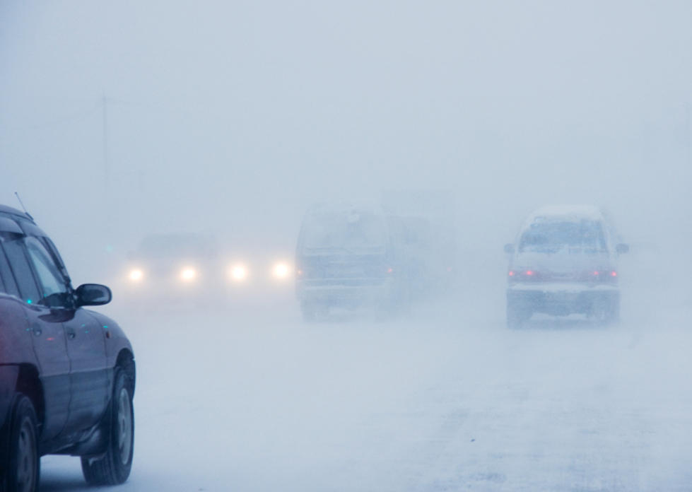
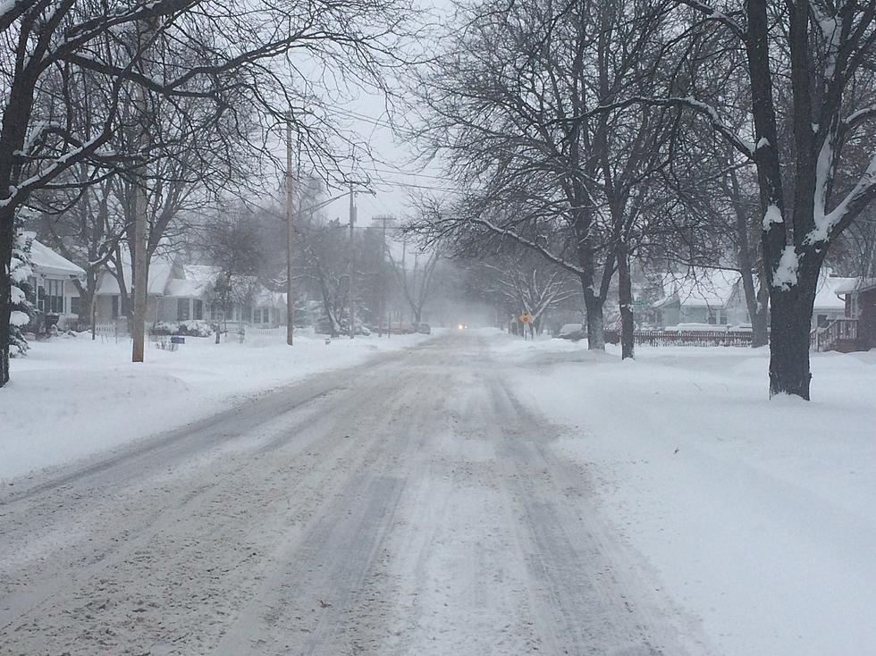
SUNDAY NIGHT...* WHAT...High winds are forecasted to combine with occasional snow and falling temperatures to potentially lead to widespreadimpacts for the area. Westerly winds could gust over 60 mph. Blowing snow could potentially lead to near whiteout conditions. Accumulations of up to 3 inches are possible.
* WHERE...Portions of central, south central, southwest and west central Michigan.
* WHEN...From Sunday morning through late Sunday night.
* ADDITIONAL DETAILS...An increased risk for tree damage and widespread power outages exists with this storm. Plan on difficult travel due to poor visibilities...slick roads and high winds.
PRECAUTIONARY/PREPAREDNESS ACTIONS...
A Winter Storm Watch means there is potential for significant snow, sleet or ice accumulations and wind that may impact travel. Widespread power outages are possible. Continue to monitor the latest forecasts.
Get more info from the National Weather Service here.
More From 97.5 NOW FM